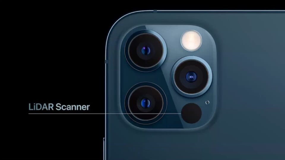
A Lidar scanner is a device that uses laser technology to determine distances. This technology works by firing a laser into an object or surface and then measuring the time it takes for the light to reflect back. Its accuracy is crucial for mapping large areas. This technology is used to measure buildings, highways, and other construction sites. Also iPhone 12, 13 and iPhone 14 have Lidar scanner!
Length of the laser pulse
The laser pulse length on a lidar scanner is an important measurement parameter. It determines the range and vertical target resolution. It is determined by a combination of factors, including laser peak power, target surface diffuse reflectance, and ambient light. Laser pulses must be sufficiently powerful to overcome the detector’s SNR (signal-to-noise ratio), which is a function of the laser’s wavelength. Typically, the pulse length is in the range of two to five nanoseconds, but higher values can be achieved through a full-waveform system. In addition to the pulse length, full-waveform LiDAR systems can image a scene, capturing the temporal envelope of each echo.
The length of the laser pulse is also a key measurement of distance, because the laser is a pulse-based technology. This means that a single laser pulse can have as many as five different returns, depending on the reflected features and the capabilities of the scanner. Each return is flagged with a different number, starting with the first return. Similarly, the second laser data point will be returned as return number two, while the third will be return number three. The total number of returns is then multiplied by two, and the result is the distance.
In addition to the laser pulse length, another important measurement is the sampling rate. A high sampling rate will mean that data is acquired faster. Higher sampling rates also lead to higher point cloud density, which correlates to higher resolution. A typical value of four points per square meter correlates to a ground sample distance of 0.5 m. Higher sampling rates will also speed up mapping throughput, allowing higher altitudes and larger swath widths.
The length of the laser pulse on a lidar system varies with its accuracy. In order to produce an accurate and detailed map, a lidar system must emit laser pulses toward the target. The laser pulses encounter the terrain and reflect back light, which is captured by a sensor close to the source. Once the laser pulses are reflected, the LiDAR system calculates the distance between the sensor and the mapped terrain.
Angular resolution
Angular resolution is an important metric when determining the size and shape of objects and particulates. The lower the angular resolution, the smaller the object will be. A higher angular resolution will allow the scanner to determine objects of various sizes and shape with greater safety.
To obtain high angular resolution, the MEMS-based LiDAR system should employ a biaxial MEMS mirror with a high frequency and large scanning angle. This design requires a relatively large size. Separate-axis Lissajous scanning is another approach to achieve high angular resolution.
Angular resolution can also be reconfigured by changing the sampling interval or the beam parameters. One of the key features of reconfigurable angular resolution is the ability to scan some pixels repeatedly within a frame rate. An FPGA, microcontroller, and MEMS mirror are used to control this processing.
Angular resolution is another key factor to consider when determining which LiDAR system to buy. It should be high enough to detect a single object. In the case of a 200-meter range, 1deg of angular resolution translates into 3.5m per side. This is significantly larger than most objects. Often, this resolution is used in combination with spatial averaging to improve the SNR. This approach is not practical if the object’s size is not known.
The angular resolution of lidar scanners can be measured in degrees. One method involves measuring the angle between scan points. The scan field of a safety laser scanner resembles a circle with 360 degrees. The angular resolution of such a scanner is measured in one-degree increments.
Range
Lidar scanners come in different ranges depending on their use. Some are designed specifically for industrial or mobile applications, while others are more suited for 3D mapping and autonomous navigation. These devices are widely used in land survey, power inspection, mining, tunnels, and forest inspection. Some are also suitable for mapping the terrain of a city or a country.
LiDAR scanners use light pulses and use the elapsed time between emission and arrival to determine the distance between the sensor and the target. This distance is based on the elapsed time between the pulses of light that have a group velocity of 3 x 10 8 m/s.
Lidar uses wavelengths ranging from ten micrometers (infrared) to 250 nm (ultraviolet). Unlike photogrammetry, which uses the image of objects to measure distance, the light is reflected via backscattering. Suitable wavelength combinations allow for remote mapping of atmospheric content. Lidar is sometimes referred to as photonic radar, although the term is more strictly defined as radio-frequency range finding.
LiDAR can be useful for increasing the energy output from wind farms. It can be installed on the nacelle of a wind turbine or integrated into its rotating spinner. It can measure both horizontal and vertical winds and proactively adjust the blades. It can also be used to determine the power curve of wind turbines.
LiDAR scanners come in two varieties. The active scanners emit radiation and detect the radiation as it passes through objects. The low-resolution version can be completed in a second, while the high-resolution version can take minutes to complete. They are capable of detecting ships even at very high altitudes.
Accuracy
Accuracy is the degree to which the results of a LiDAR scanner accurately match the values in the real world. This can be measured in several ways. Some vendors calculate accuracy by averaging multiple scans, while others use a measurement method that accounts for the reflectance of the surface. In any case, accuracy will vary according to the manufacturer and its product.
In many cases, the accuracy of a lidar scanner depends on the accuracy of the other components of the system. Several factors can influence its accuracy, including the time measurement error and the wrong atmospheric correction. Furthermore, the complexity of the object space can cause greater uncertainties in the coordinates. The accuracy of lidar data can be improved by properly calibrating the sensors and determining the ideal conditions for the data collection.
Accuracy is best measured in global terms. Global accuracy measures the precision of measured values for objects of different sizes. It is particularly important if the measurements are meant for generating floor plans, scanning to BIM, or measuring the distance between two points. A high global accuracy reflects the reliability of the system throughout the project.
The accuracy of a lidar scanner also depends on the distance of the object that the scanner is tracking. A three-centimeter deviation on a big ship is not a big problem, but even a half-inch difference is huge compared to reality. Most scanners are designed to compromise between distance and accuracy.
Another factor that affects accuracy is the environment where the scanner is used. Correctly set up lighting is critical to photogrammetry, and a poor lighting environment will have a negative impact on the accuracy. The software will be unable to accurately match pictures if there is too little light or too much shadow. Lighting can also affect how well the scanner can render textures.
Optics
Lidar is a new kind of laser sensor that detects distances and shapes. The resulting data can be used in different applications, including autonomous vehicles. These devices have a very high azimuth resolution and can also find the relative positions of objects. The optics of lidar scanners are quite complex and require specialized know-how. Hamamatsu Photonics has been supplying high-quality optical components for the automotive industry for over 40 years. As a result, our products have contributed to the development of safe, reliable, green, and comfortable automobiles.
Lidar scanners use a combination of lasers and rotating mirrors to scan a scene. The measurements are then collected at intervals of specified angles. In some applications, a lidar scanner uses coherent detection, which measures phase and Doppler shifts. However, this type of sensor requires more complex transceivers.
LiDAR systems use lasers in three different wavelength ranges: NIR at 1064 nm, VIS at 532 nm, and SWIR at 1550 nm. Each wavelength has its advantages and disadvantages, and the choice depends on your needs. The most effective wavelength depends on your target’s reflectance, ambient light levels, and eye safety.
Another important factor in lidar scanner’s sensitivity and angular resolution is its optical design. While most scanners use a movable mirror to deflect the beam, some scanners use rotating Risley prisms or a single oscillating plane mirror. Different angular orientations require different optics, which affects the speed of image development.
LiDAR scanners can scan a wide range of objects. In other words, a lidar scanner can see hundreds of meters ahead of a car.